 In collaboration with


Time : Mon-Fri: 9 AM - 7 PM

Email :
info@zillioninfotech.com
Follow us:


Loading calendar...
We're Proud to Announce


Zillion Infotech has partnered with Bloxbitz. Together, we refer clients between our teams and collaborate on technology projects where our capabilities complement each other.
Have an ambitious idea, technology challenge, or ecosystem to build? Let's talk.

Industry

Duration

Location

Services
Interested in a
similar solution?
Let's build something impactful
for your business.
or
Book a Free ConsultationRBMIMS (Road Building Mapping Information Management System) is an intelligent geospatial platform designed to digitize infrastructure mapping and streamline field operations for government departments, engineers, and field surveyors. The solution leverages mobile-based data capture, GPS tracking, and structured workflows to enable efficient infrastructure monitoring and management.
The platform replaces manual and fragmented data collection processes with accurate, real-time geospatial data capture from field locations. With offline functionality for remote field usage and a centralized system for monitoring, validation, and approvals, RBMIMS transforms traditional infrastructure data collection into a digital, efficient, and scalable system.
The client aimed to digitize and streamline road infrastructure data collection and management for government departments, engineers, and field surveyors. The challenge was to replace manual and fragmented data collection processes, enable accurate real-time geospatial data capture from field locations, ensure usability for on-ground teams working in diverse conditions, and provide a centralized system for monitoring, validation, and approvals.
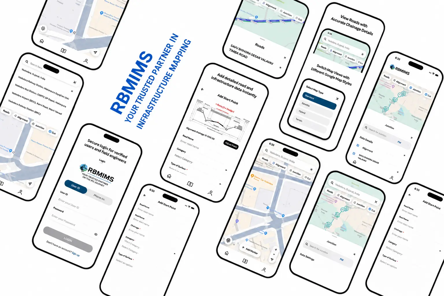
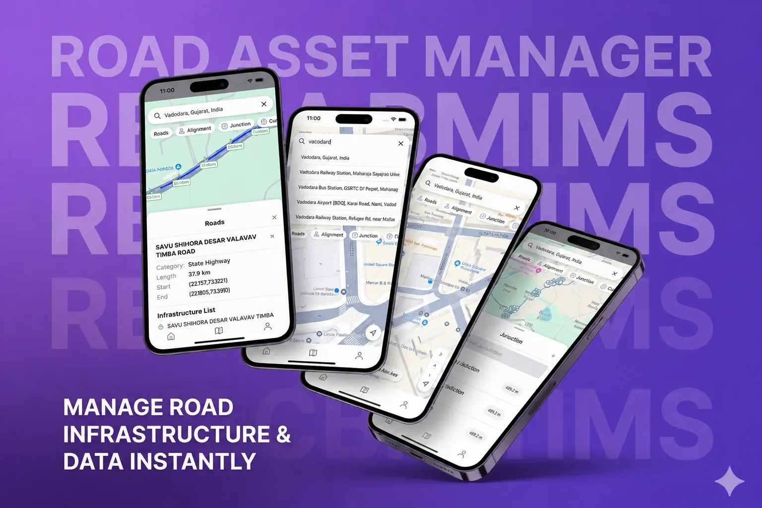
We developed RBMIMS (Road Building Mapping Information Management System), an intelligent geospatial platform designed to digitize infrastructure mapping and streamline field operations. The solution leverages mobile-based data capture, GPS tracking, and structured workflows to enable efficient infrastructure monitoring and management. Built with mobile-first design, offline capabilities, and real-time synchronization, the platform ensures uninterrupted field operations and centralized oversight.

Geospatial Data Collection

Real-Time GPS Tracking

Structured Workflow Management

Offline Field Capabilities

Centralized Monitoring

Approval Workflows
RBMIMS transforms traditional infrastructure data collection into a digital, efficient, and scalable system, enabling government departments to monitor and manage road infrastructure effectively.

Improved accuracy and reliability of field data through GPS-based digital collection.

Reduced manual effort and data inconsistencies with automated collection workflows.

Enhanced visibility into infrastructure development processes with real-time monitoring.

Faster approvals and streamlined operational workflows through centralized management.

Let's build something amazing together!
Let's Talk
